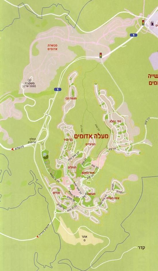
Ma'ale Adumim Maps
Mevaseret Adumim (E1), Israel
Mevaseret Adumim is across the top of the map.
The Judea and Samaria police station is located on the
south west side of Mevaseret Adumim. The map shows the road
that connects the police station to highway one. The road is also
connected to a bridge over highway one.
To view photos taken near the police station Click Here.
The top right traffic light is the intersection of highway one and
Mishor Adumim - the industrial area of Ma'ale Adumim.
The middle traffic light is the intersection of highway one and the
road to the Nofei Sela (07) neighborhood of Ma'ale Adumim.
Google Aerial Map
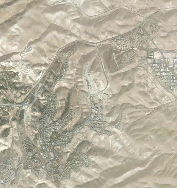
Ma'ale Adumim and Surrounding Areas
Jerusalem is in yellow on the left side,
the Dead Sea is in blue on the right side.
Pink area is Mishor Adumim (the industrial area of Ma'ale Adumim)
Red area below highway 1 is the residential area.
Red area above highway 1 is Mevaseret Adumim (E1).
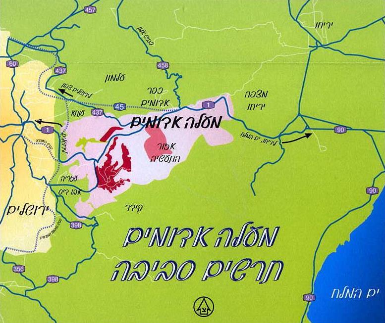
JCPA: Understanding Israeli Interests in the E1 Area:
Contiguity, Security, and Jerusalem (2013)
Ma'ale Adumim Maps
Ma'ale Adumim Description
Video of The Giant Chanukiah in Mevaseret Adumim
Eve of Kislev 26, 5772 - December 21, 2011

Ma'ale Adumim Home Page